

 Red Dragon I.T. Ltd.
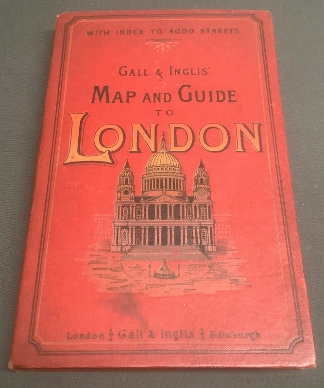
GALL & INGLIS' ORDNANCE MAP AND GUIDE TO LONDON (5 Inches to the Mile) With Index to 4000 Streets
Published by Gall & Inglis in Edinburgh and London nd. c. 1894
SKU: 55136
£230.00
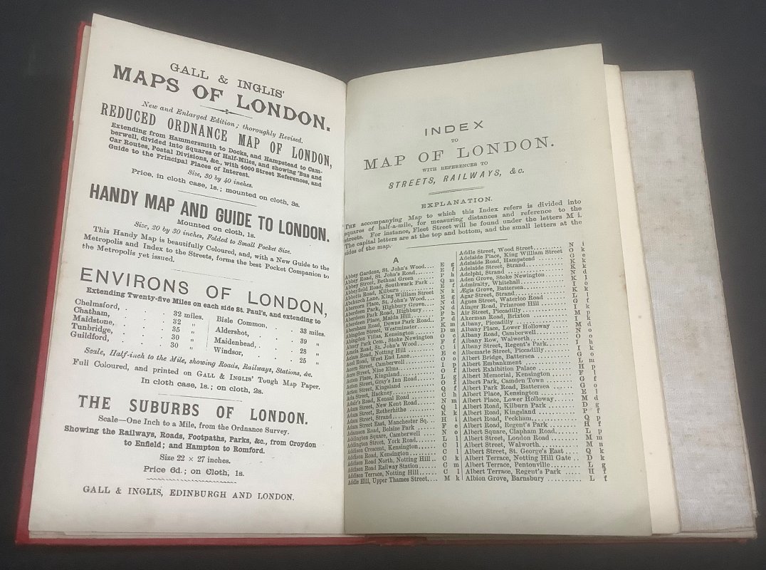
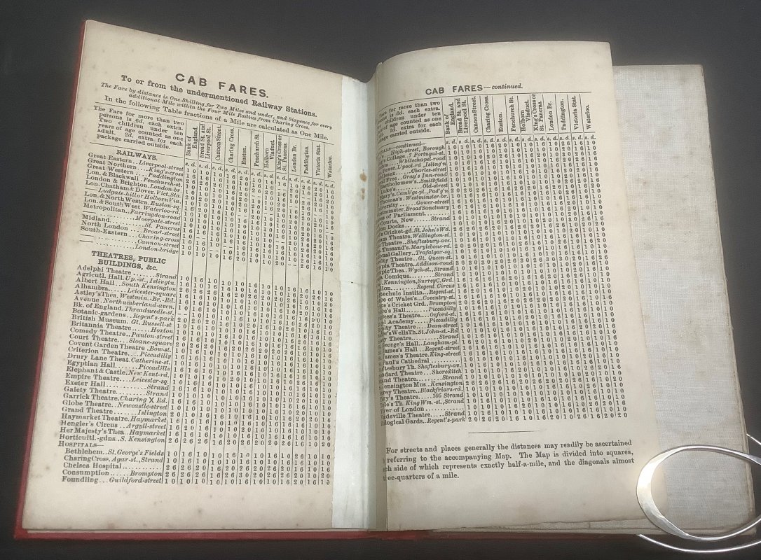
Red cloth hardback (approx. 18.5 x 12cm) with decorative upper board. With large colour linen-backed map attached to inside rear cover. Area of map itself measures 82.5 x 98cm, divided into half mile squares with Hampstead and Stoke Newington in the North, Fulham and Peckham in the South, Hammersmith and Willesden in the West and Hackney and Rotherhithe in the East. Stapled booklet containing Index to 4000 Streets, Guide to London, Map of the City and Map of Environs of London, plus advertisements, attached to inside front cover. Small paper strip with ink initials pasted to inside front cover. Another couple of paper strips, possibly for reinforcement, attached to rear cover of booklet and gutter of previous spread. Some foxing to linen back of map. Map itself very clean and bright, with a couple of tiny creases to edges. Light foxing to prelims of booklet. Very light rubbing and a couple of small patches of light soiling to covers. Overall a VERY GOOD COPY.
Click an image to enlarge: