

 Red Dragon I.T. Ltd.
Box of 48 Hand Coloured Maps of Great Britain (Complete)
Published by Henry Teesdale & Co in London, Holborn c. 1831
SKU: 53901
£900.00
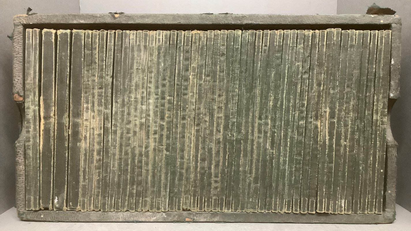
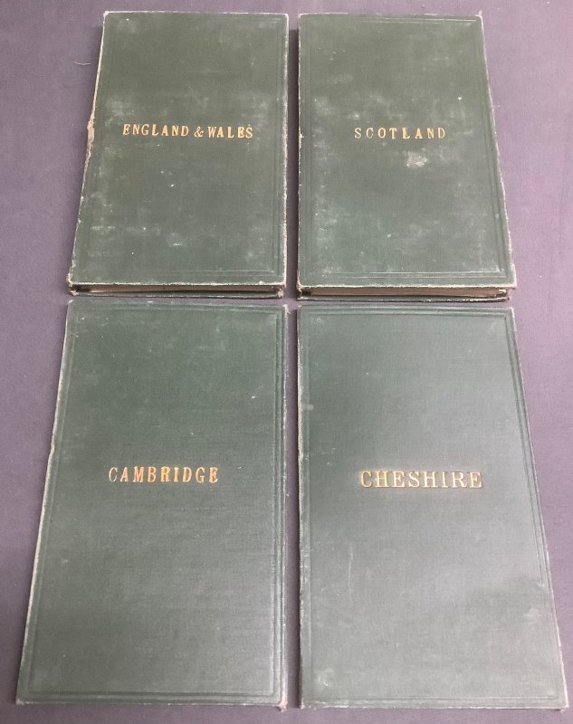
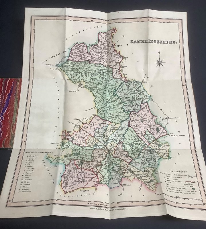
Dark green buckram-covered wooden box lined with marbled paper (approx. 18.5 x 34cm) containing 48 hand-coloured fold-out maps in dark green silk boards, gilt, with marbled endpapers. Comprising 45 County maps and 3 Country maps (England & Wales, Scotland, Ireland). Most covers a little worn and rubbed with slight fraying to spines but the maps themselves very bright and crisp. The exterior of the box is very worn with buckram covering peeling and/or missing in places but holds the maps together well. Overall a VERY GOOD COLLECTION OF FOLD-OUT MAPS, in rather tatty presentation box.
Click an image to enlarge: